Map Your House
Geography Lesson Plan
Students will become familiar with various types of maps. They will understand the concept of a map representing something much larger. Students will be able to produce "to scale" maps of their homes.

a wide variety of maps (solar system, world, US, state, city, school); Zoom by Istvan Banyai; white paper; pencil; measuring tape
- Present the book Zoom to the class. Discuss what is happening page to page--that the view is moving farther out each time, or zooming out.
- Present the maps by zooming in from the solar system down to the classroom.
- While showing maps, discuss how they are a proportional representation of the much larger area.
- See if class knows how to find distances on maps, discussing the legend and mileage scale.
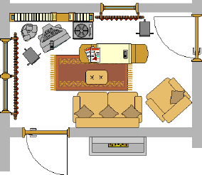
- As a class, make a map of the classroom--basically a floor plan. With students help measure the walls, doors, windows, etc. Make a "to-scale" drawing of the class including a measurement scale.
- After students understand the basic concepts, have them each draw a sketch of their house. Have them estimate distances.
- For homework, have them actually measure their house and draw it to scale. They will need to include a distance scale.
- Extension: Have students build a model of their homes.
Ask questions: How did your estimates compare to the actual measurements? Was it difficult coming up with an accurate scale? How do you think cartographers map areas of land? Why do maps need to be precise?
Were students able to correctly represent measurements with a scale? Were estimates realistic? Do students understand the concept of mapping?


